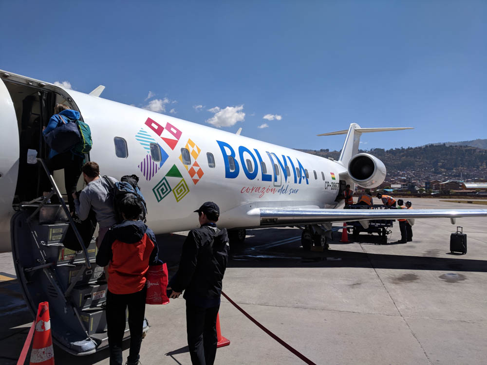
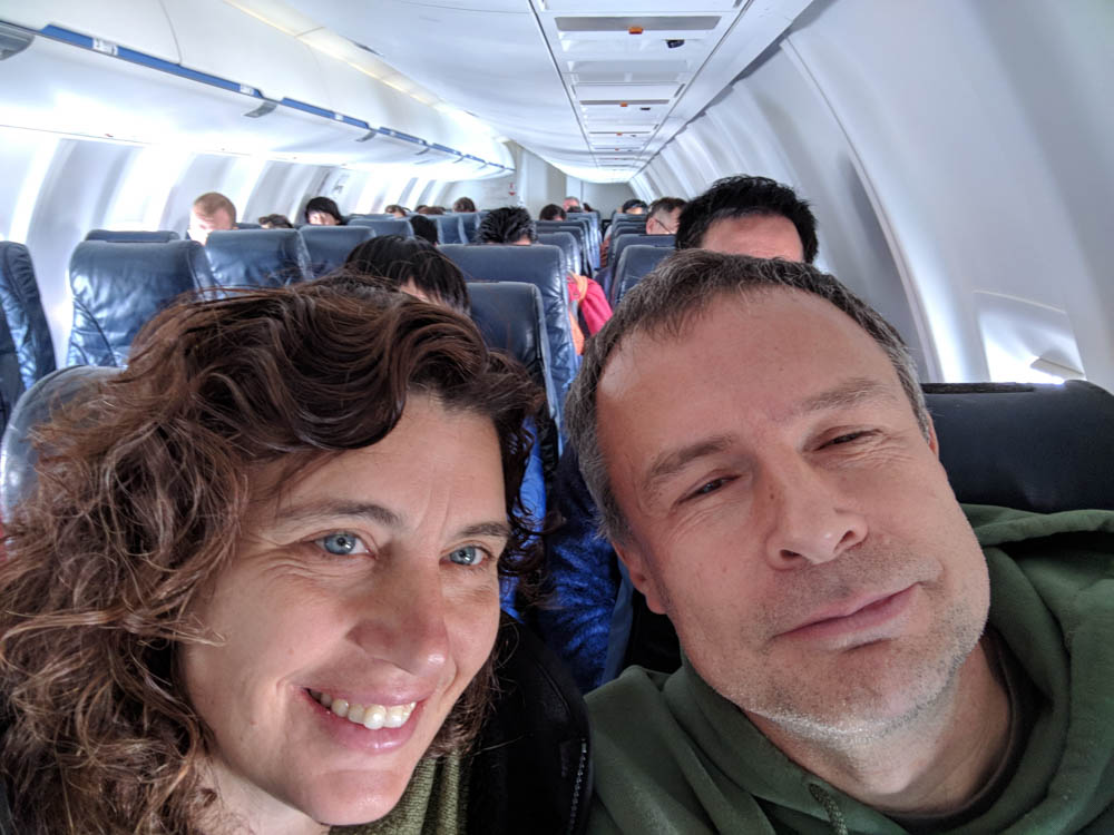
The next destination was northern Chile. This meant more flights, the first of which went back to La Paz, Boliva so we could catch a connecting flight to Iquique, Chile. The flight from Peru left late, so we received an escort through the La Paz airport to avoid having to go back through security. It’s surprising to me that going through an airport only a couple of times can provide a real sense of familiarity.
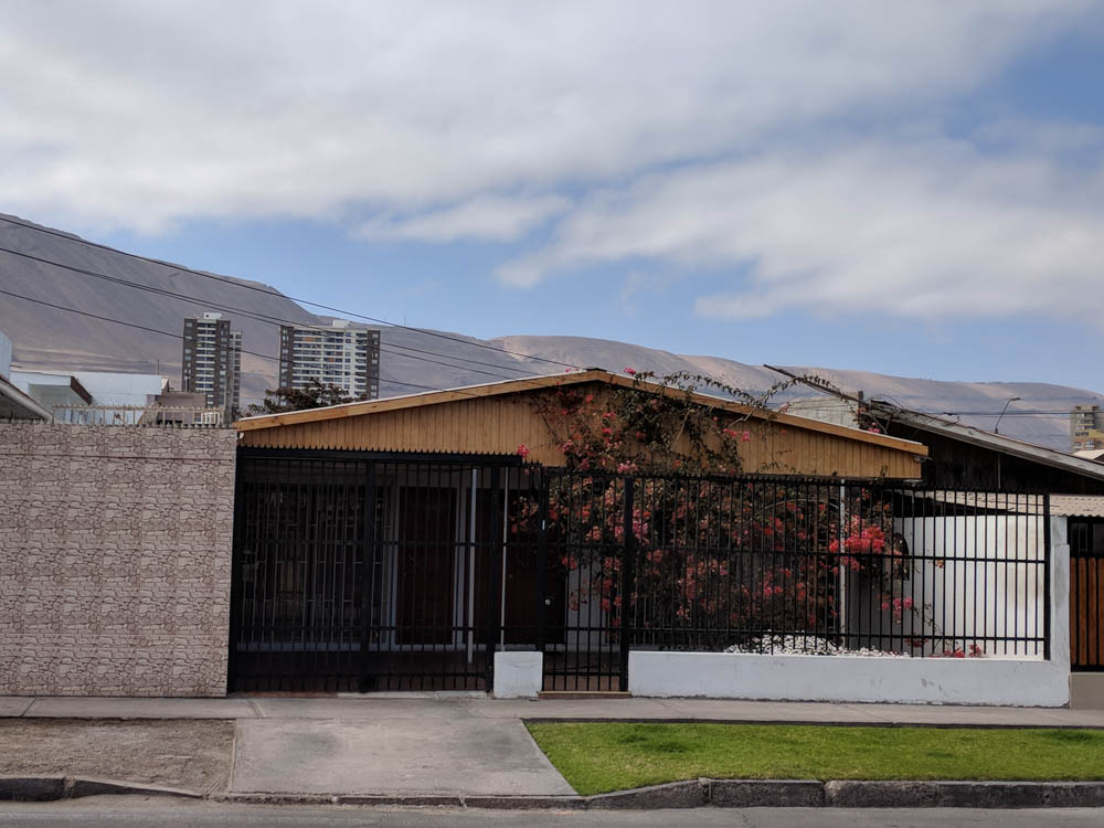
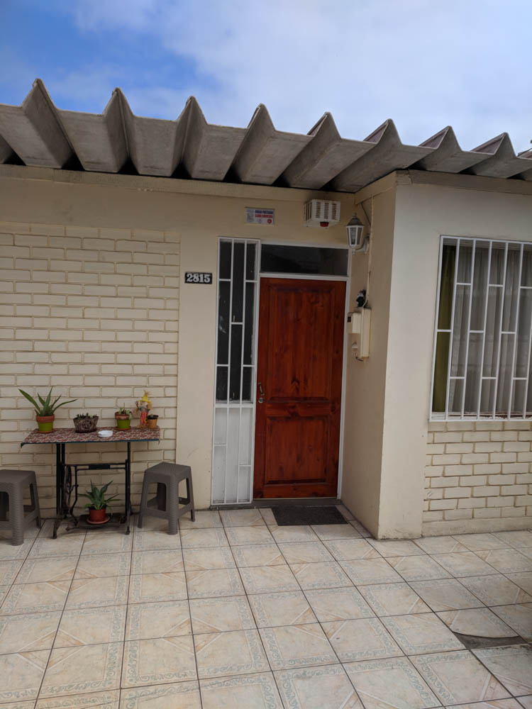
We spent the first night at an Airbnb in Iquique. After the flight there was enough time to grab some dinner, drive around a bit to check out the area around our lodging, exchange some money, and pick up some snacks for the drive the next day.
The money exchange we visited was the most picky to date. They rejected one of the $100 bills after holding it under some kind of lamp and then claiming the face of the bill was washed out. This was impossible to see in daylight, so I was having some trouble believing them. But, we got through the exchange with a different bill and walked away with some Chilean Pesos.
Pesos can get a bit confusing. Of the countries we visited, Argentina, Chile, and Uruguay use the Peso as currency. But, the exchange rate is different in each country, and not by a little. It’s necessary for the brain to shift gears after we change countries to make sure the on-the-fly calculations at the market, gas station, etc are using the correct exchange rate. It’s not always easy.
After running our errands we headed back to our room and off to bed.
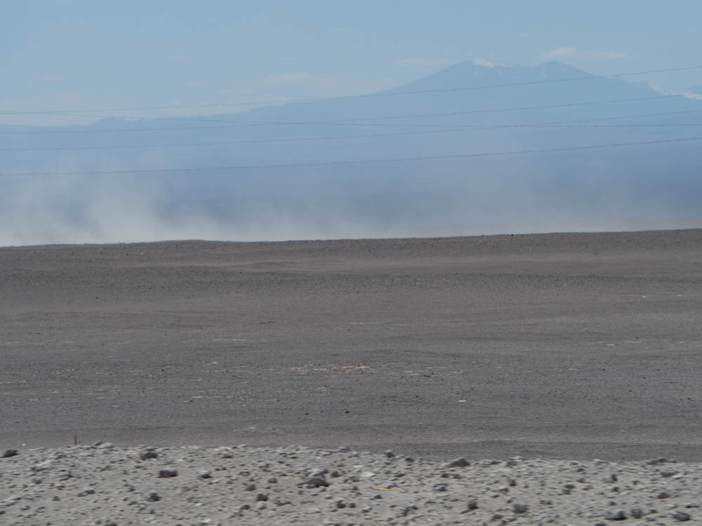
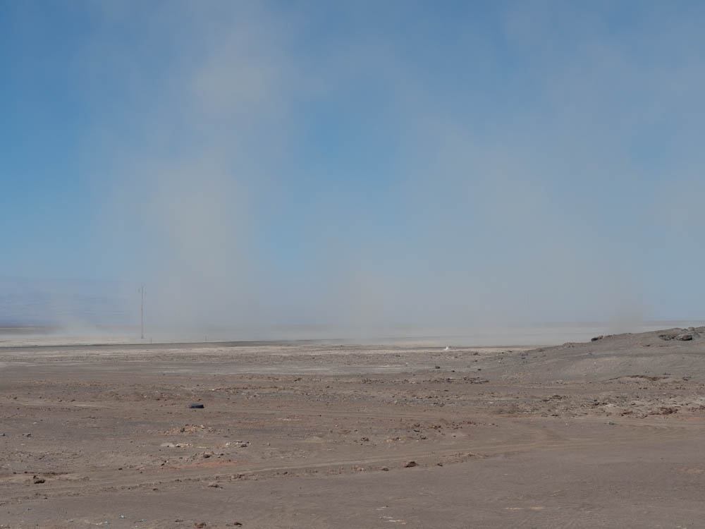
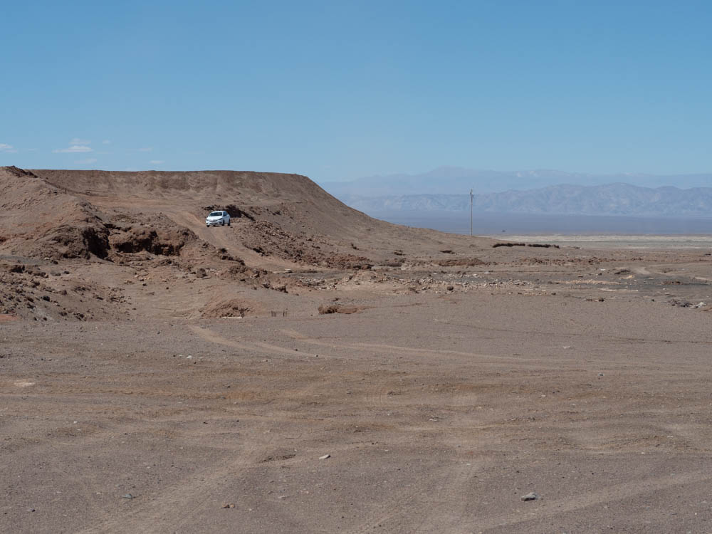
The next morning we headed out for the city of Arica, Chile. There were some historical sites we wanted to check out there. The drive to Arica was estimated to take four hours and the route took us through the northern part of the Atacama Desert, which lies between the Andes Mountains and the Pacific Ocean.
The Atacama Desert is referred to as a hyper-arid desert, and is believed to be one of the driest, or possibly the driest, desert on the planet. The area receives 0.3mm of rainfall per year. You read that correctly. Less than 1mm of rainfall per year.
I was prepared for four hours of sheer boredom while we made the drive through the desert. It’s brown…everywhere. I could not have been more wrong. We made so many stops along the way it took us in the neighborhood of eight hours to make the drive. This area holds quite a bit of history.
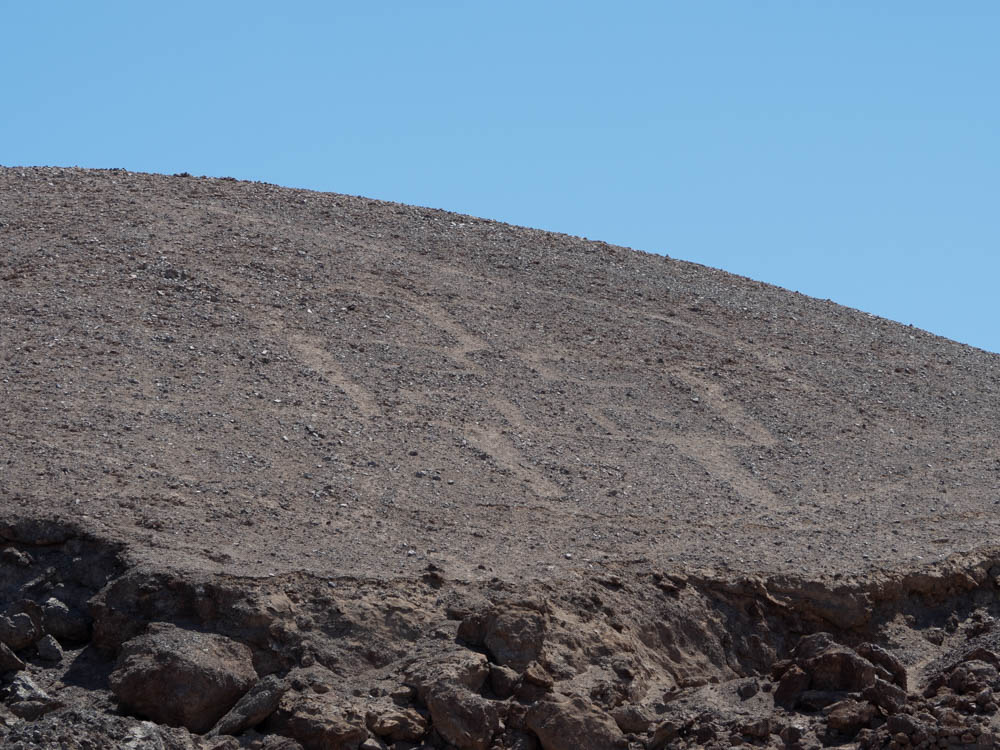
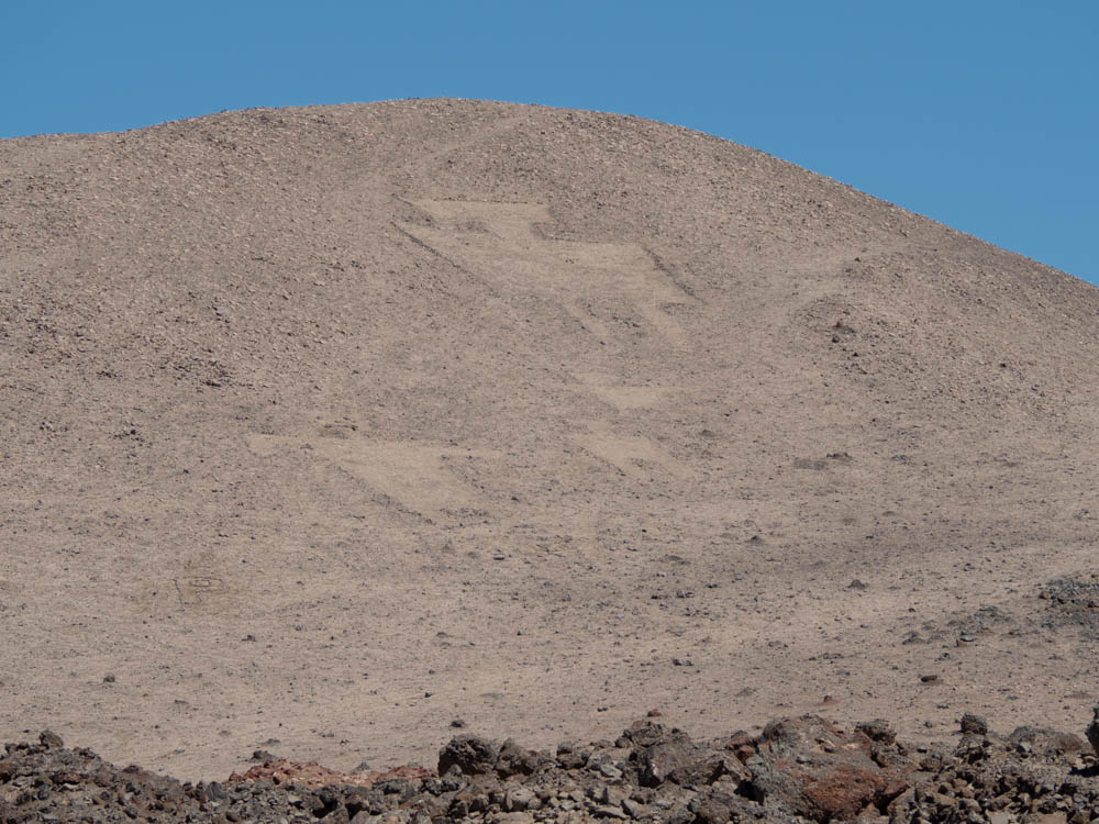
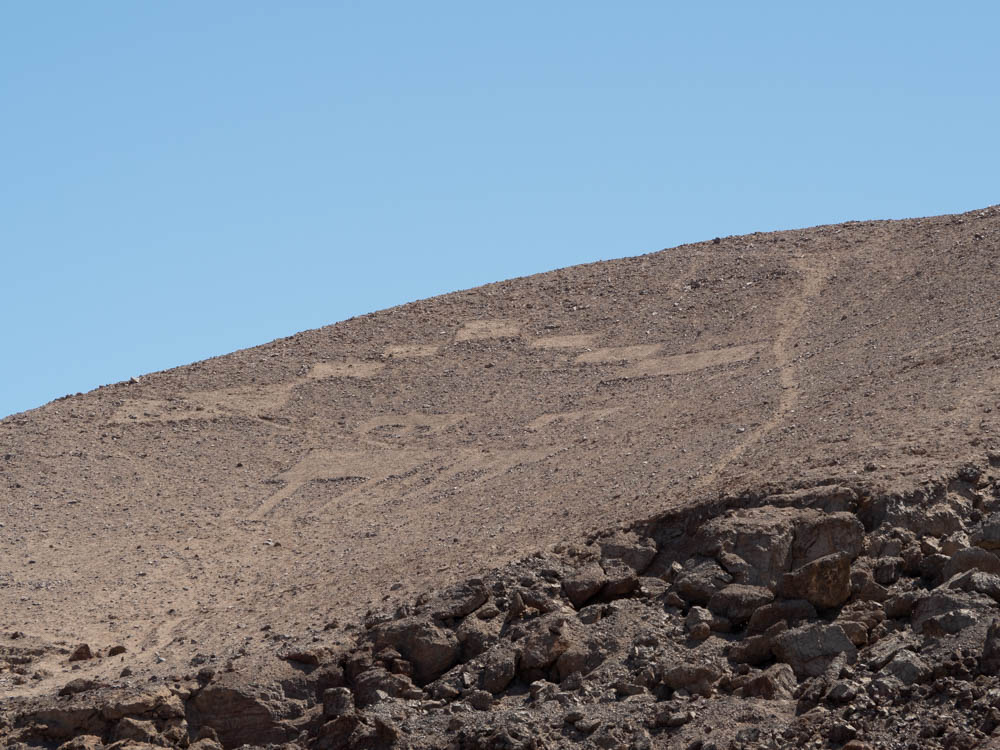
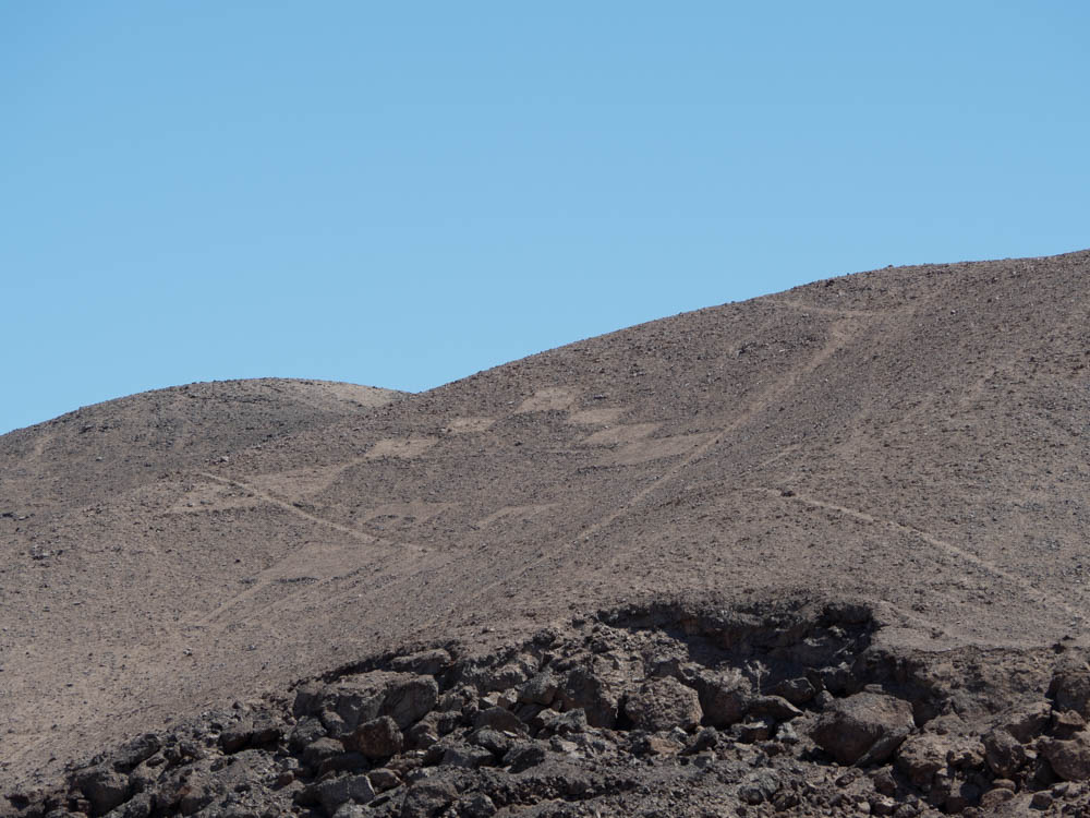
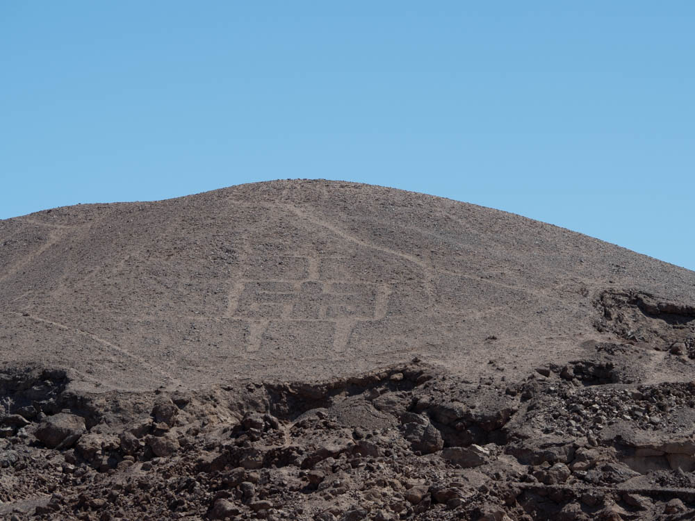
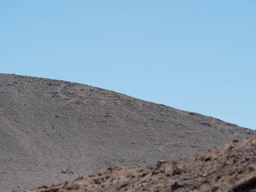
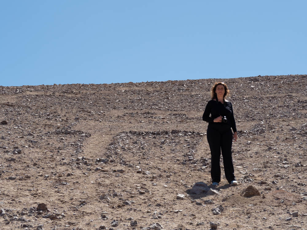
One of the first items we came across was a small set of geoglyphs along the side of the road we were driving. Geoglyphs are prehistoric works of art worked into the landscape. They are believed to have been created between 600 and 1500 AD, including work performed by the Tiwanaku and Inca civilizations. The most famous geoglyphs are the Nazca Lines in Peru, but the ones in Chile are much smaller and more in number with over 5000 cataloged to date.
The geoglyphs were either formed by dragging rocks and soil to form the edges of the symbol, or by laying rocks on the ground to form a pattern. We stopped at one location and got a very close look at a few of the symbols. I honestly have no clue how they estimate these were built hundreds of years ago. They look like something a local could come out and create in the middle of the night. I was also a bit baffled as to how the the symbols could survive for hundreds of years given they are just rocks and dirt. But then it dawned on me…no rain to wash the symbols away.
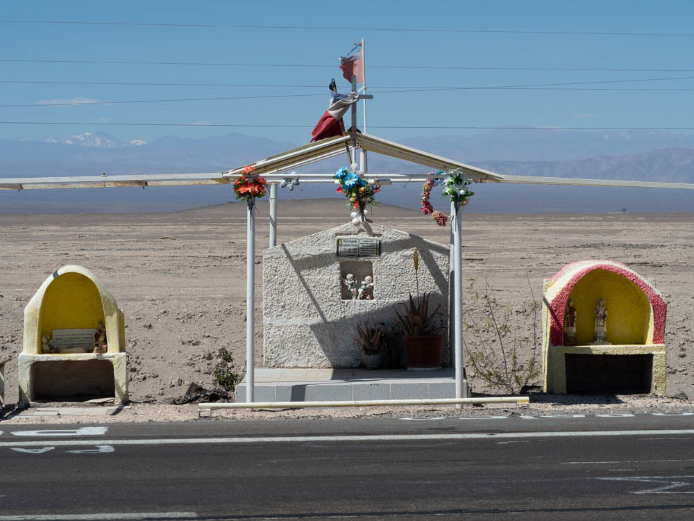
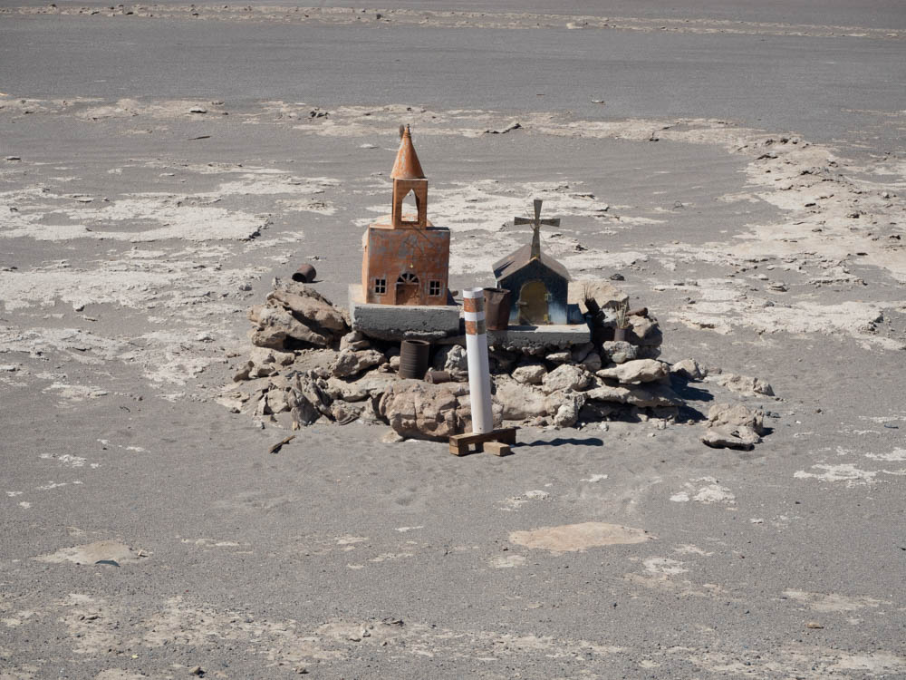
After we poked around the geoglyphs for a while, we continued our drive. Another interesting thing about this drive was the memorials on the side of the road that are created by the families of drivers that have died along this route. I will talk more about the memorials in a later post, but wanted to show a sample here.
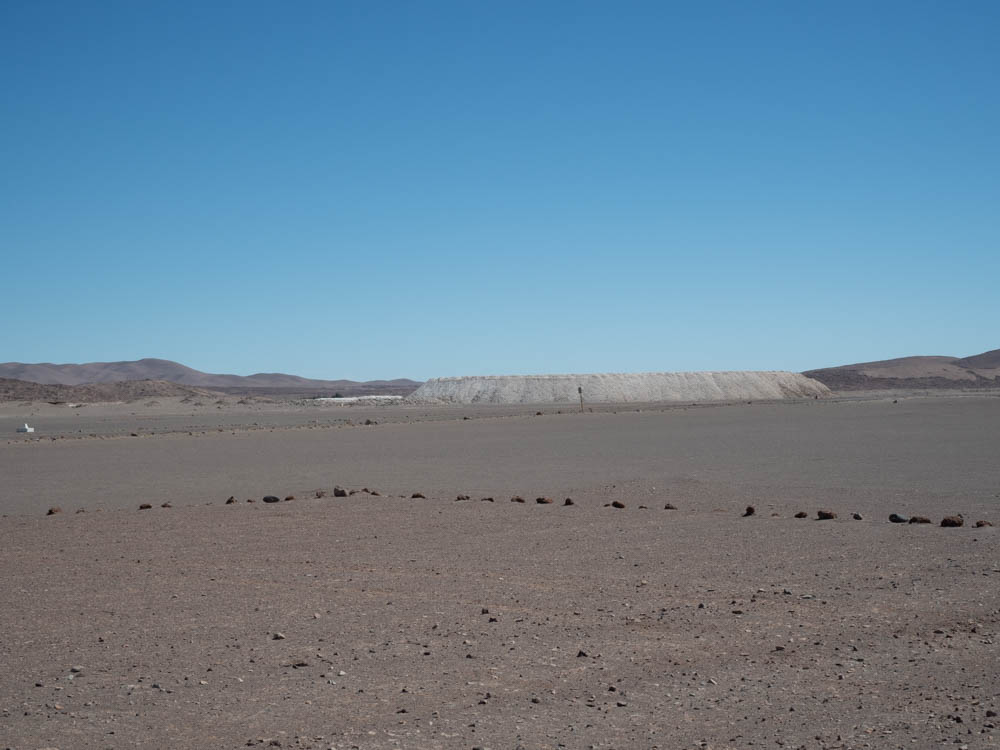
As we were driving along we saw what appeared to be a very large pile of something white in the distance. The longer we saw it, the more curious we became. After a quick U-turn and a short drive back we headed off the main road toward the “something” in the distance. Adventure time!
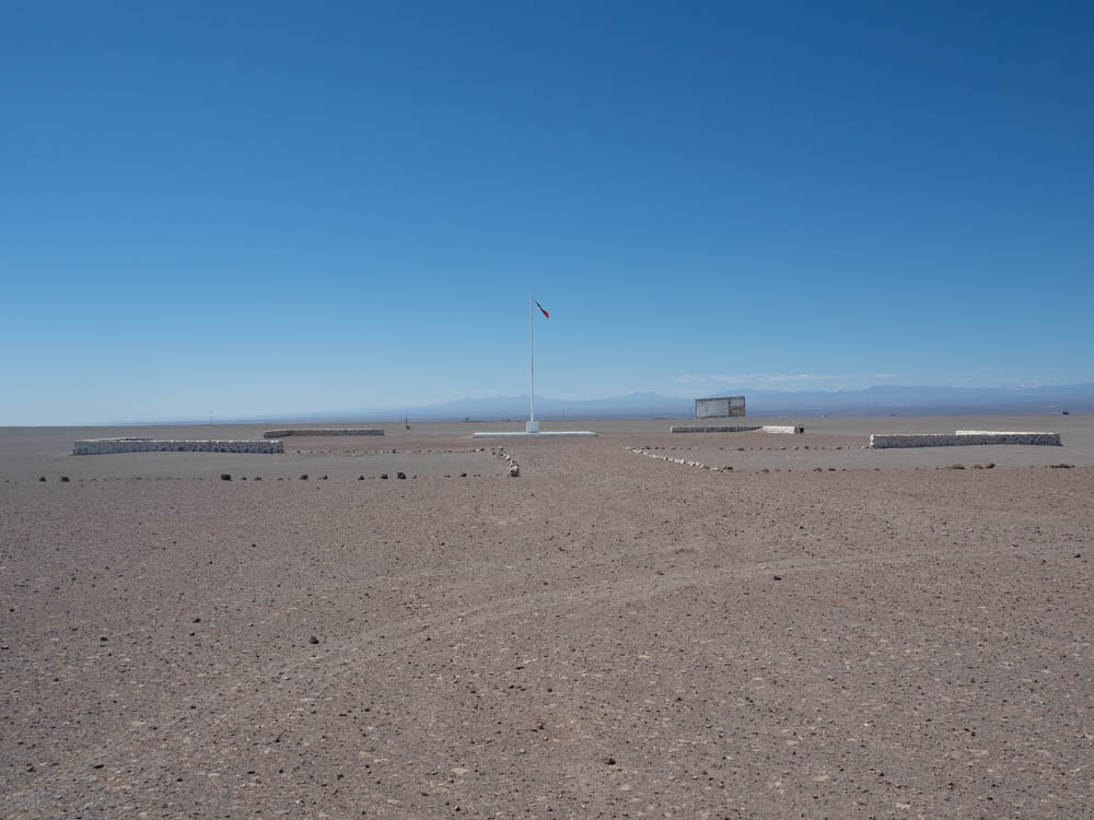
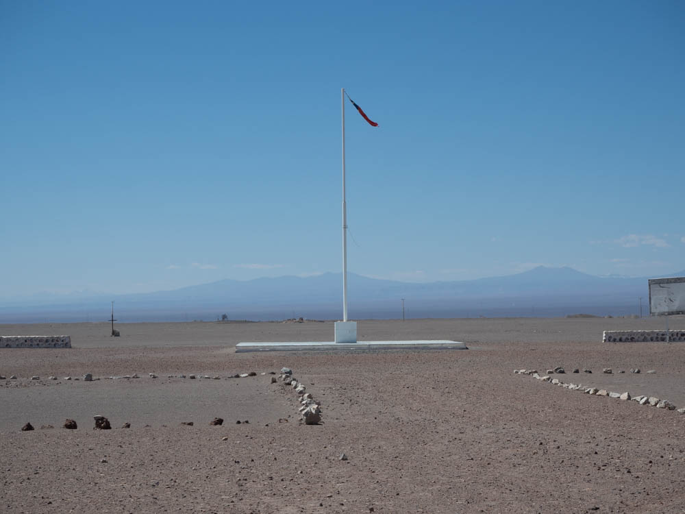
A few minutes later we arrived at a memorial to the Combat of Pampa Germania, also know as the Combat of Holy Water. This was the site of a cavalry battle during the War of the Pacific. We never did figure out for sure why the hill is white, but were fairly certain it was a integral part of the battle.
What is the War of the Pacific you say? Well, thanks for asking. I had never heard of it.
The War of the Pacific, also know as the Saltpeter War, was a war between Chile and a Bolivian-Peruvian alliance in the late 1800’s. The war started when Bolivia, in violation of an existing treaty, imposed a new tax on Chilean mining companies and then refused to mediate the dispute when Chile protested. Ultimately Bolivia’s actions lead Chilean forces to occupy Bolivian territory and they were off to the races. Peru, which was bound to Bolivia by a secret treaty of alliance (you really have to love things like secret treaties) tried to mediate, but instead Bolivia officially declared war.
To make a long story short, the Chilean forces had a number of decisive victories and took over a considerable amount of land from both Bolivia and Peru. And, most importantly to Boliva, took over all of Boliva’s coastal land, cutting them off from the Pacific Ocean.
There was a recent news story about Bolivia still trying, 150 years later, to regain their coastal lands via legal means. Earlier this year the U.N. International Court of Justice rejected Bolivia’s request to force Chile into negotiations to return some of the coastal land. It never ends.
Google Maps indicated if we stayed on the dirt road we were currently on it would eventually reconnect with the highway. So, off we went.
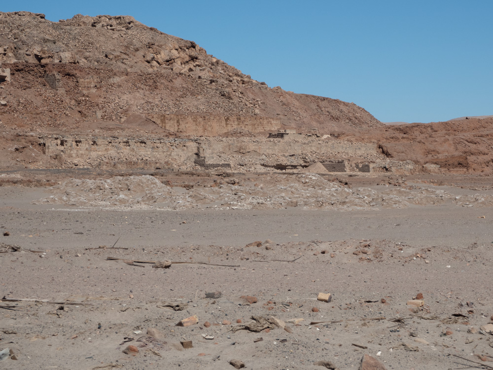
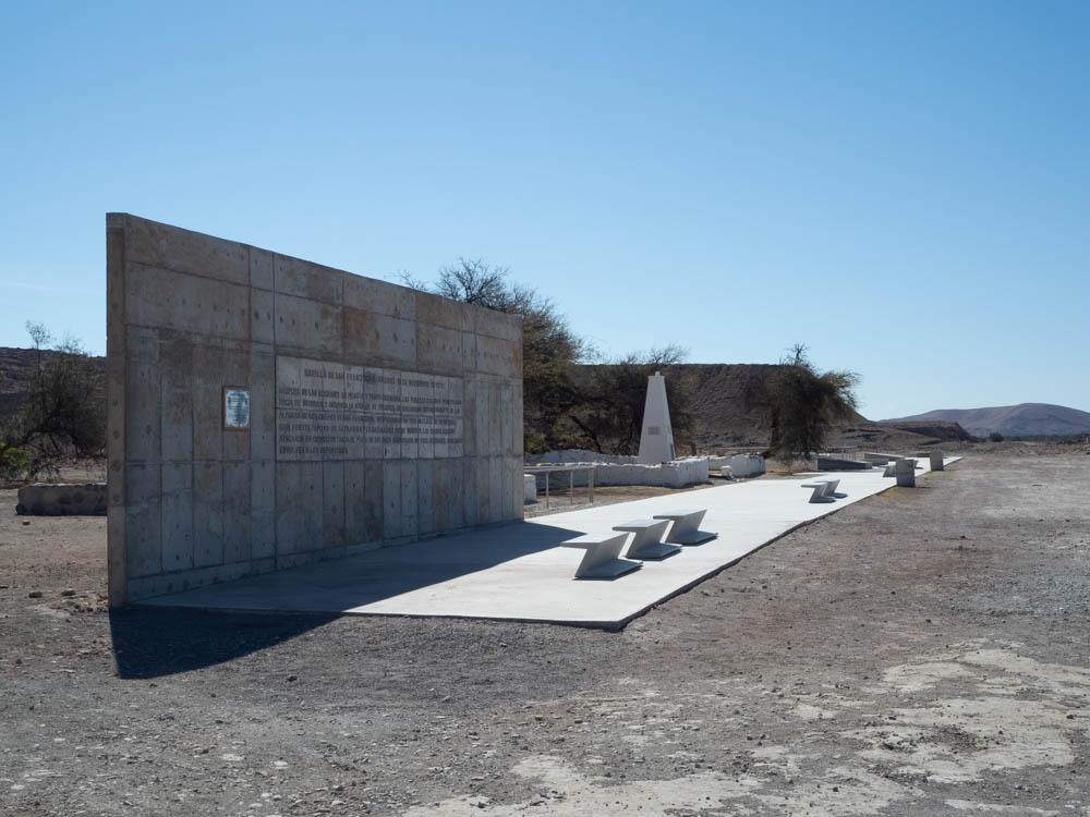
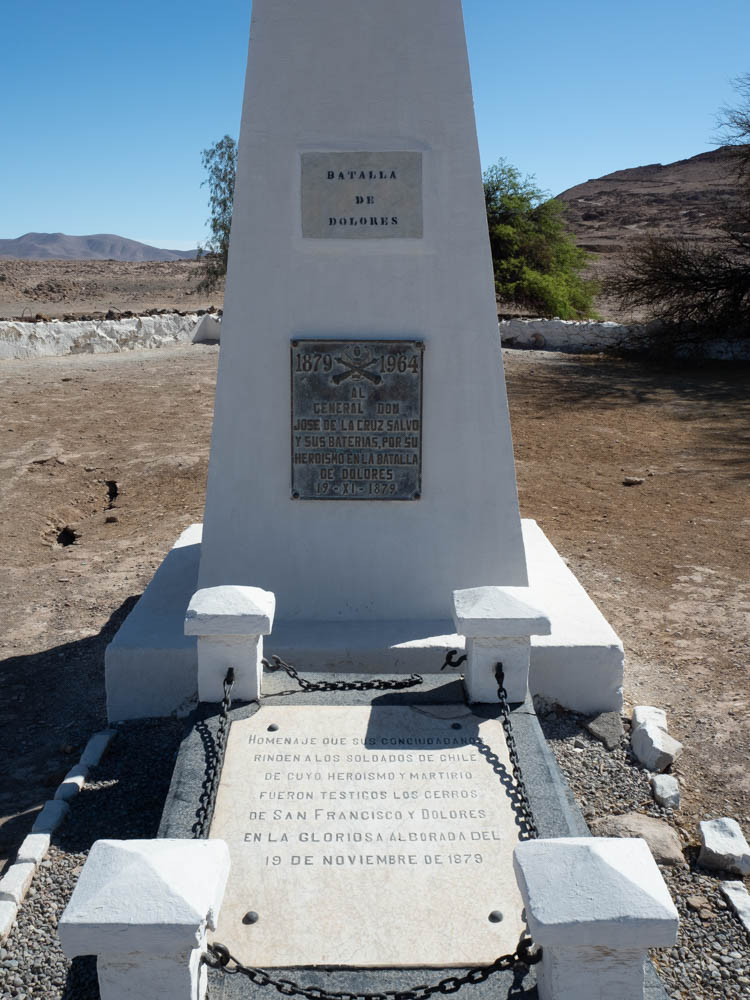
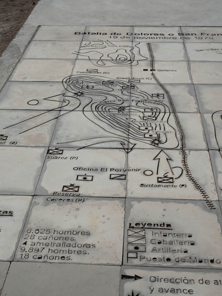
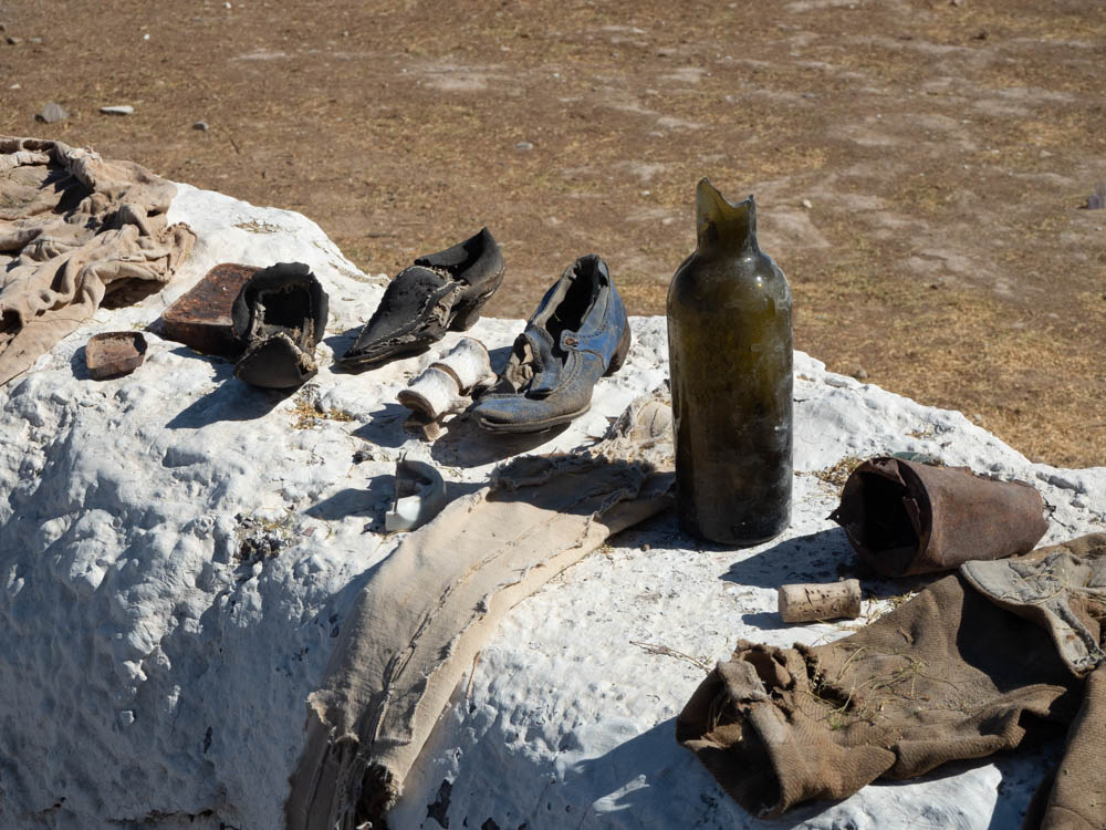
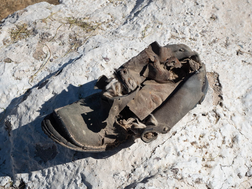
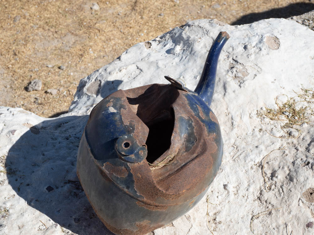
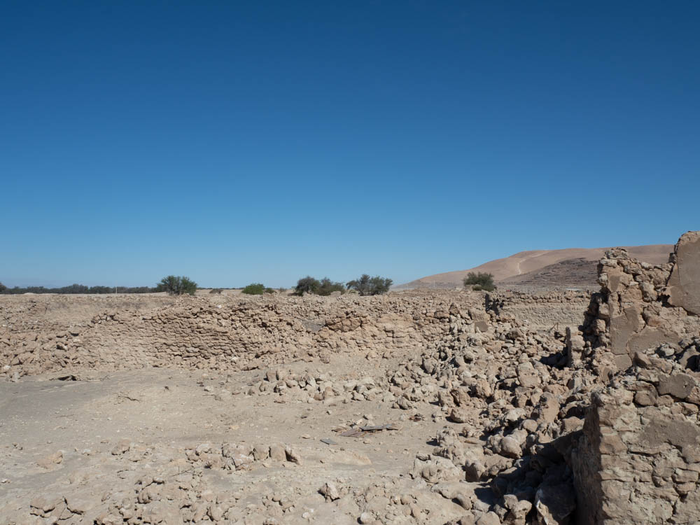
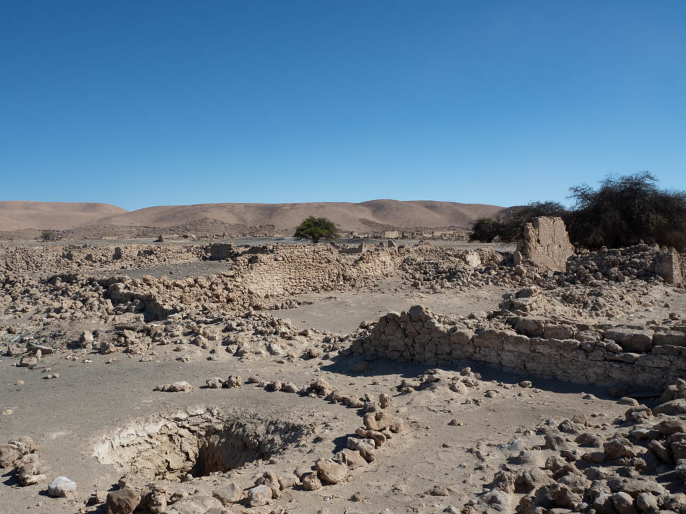
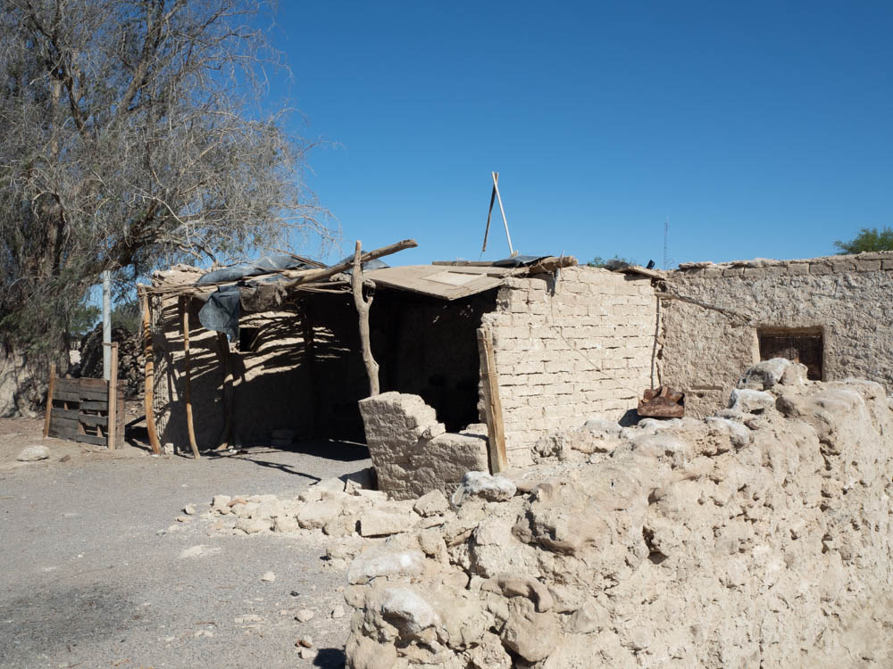
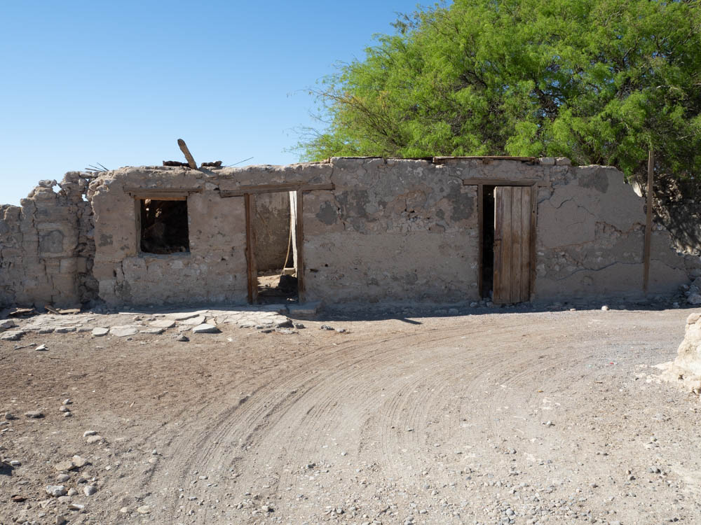
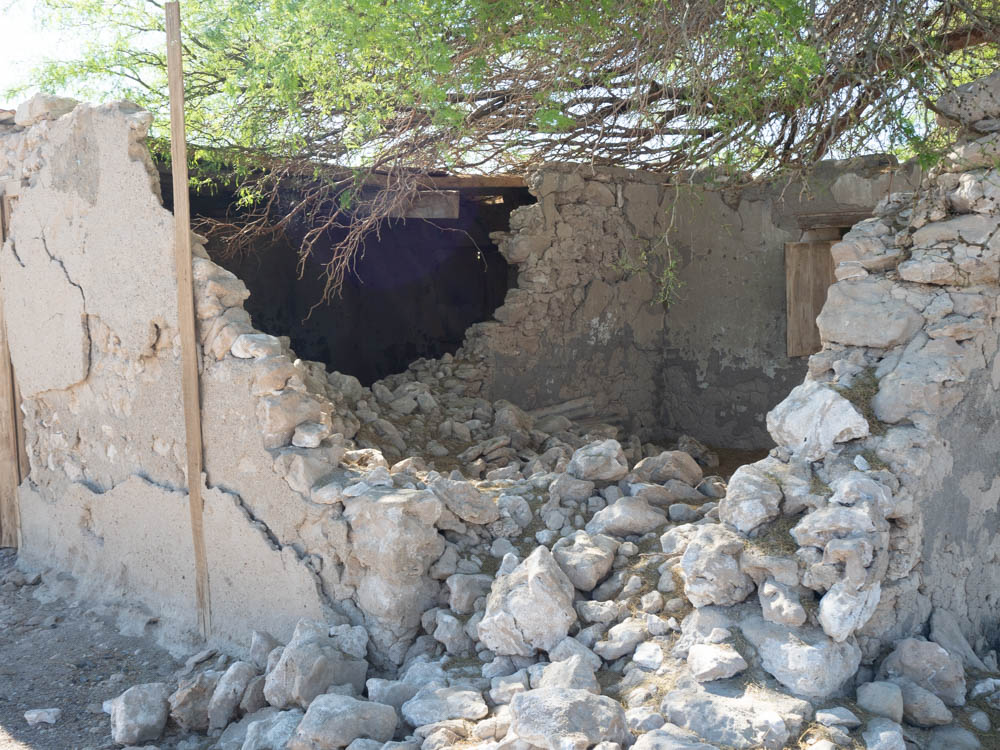
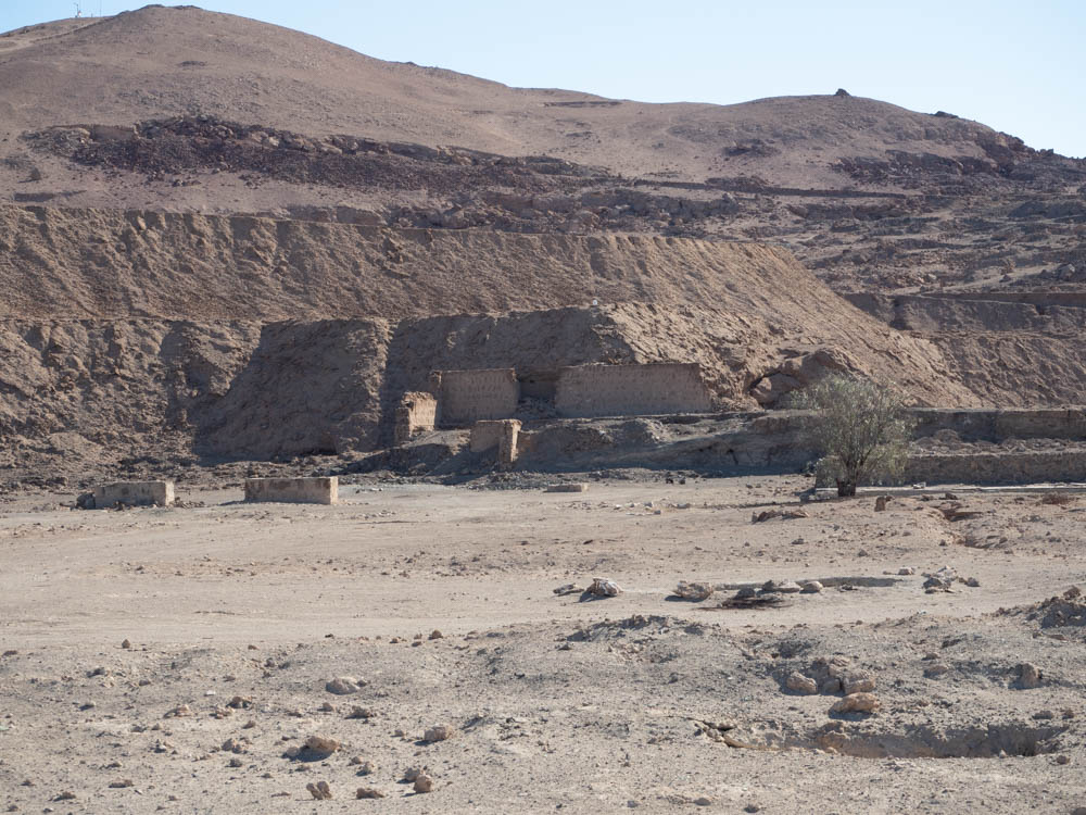
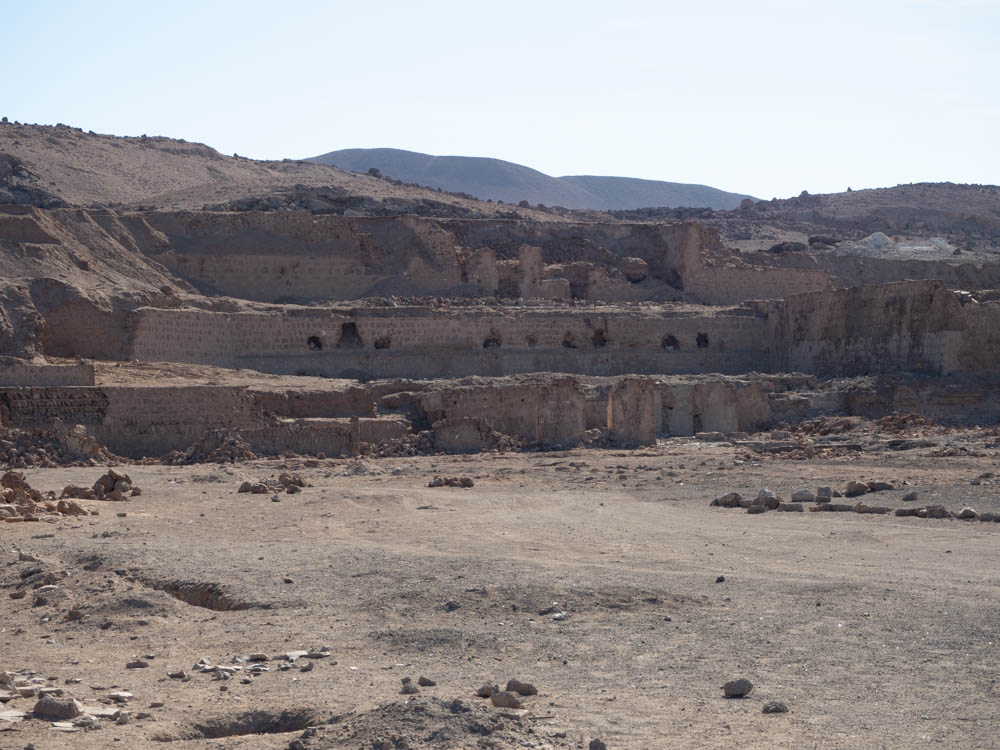
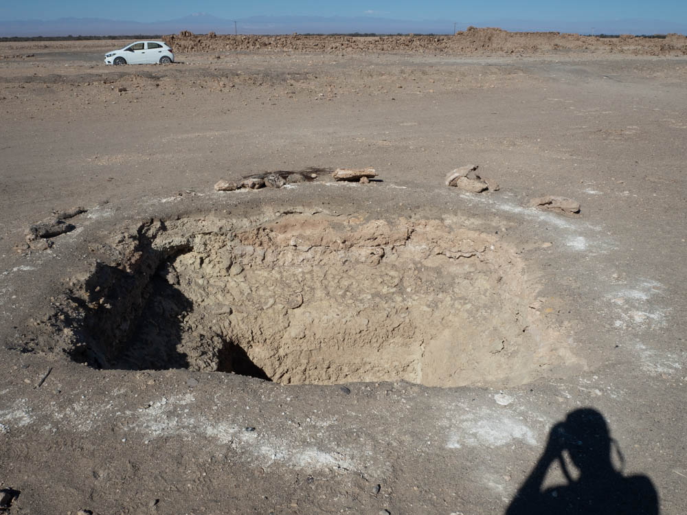
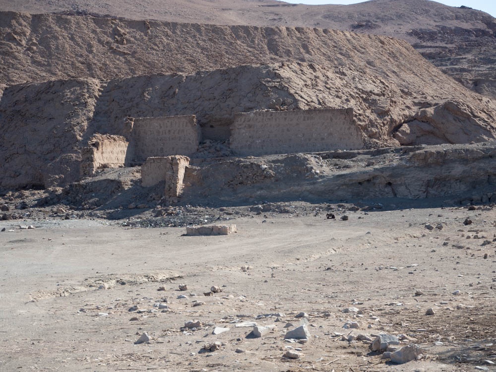
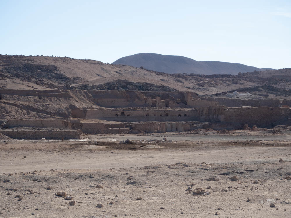
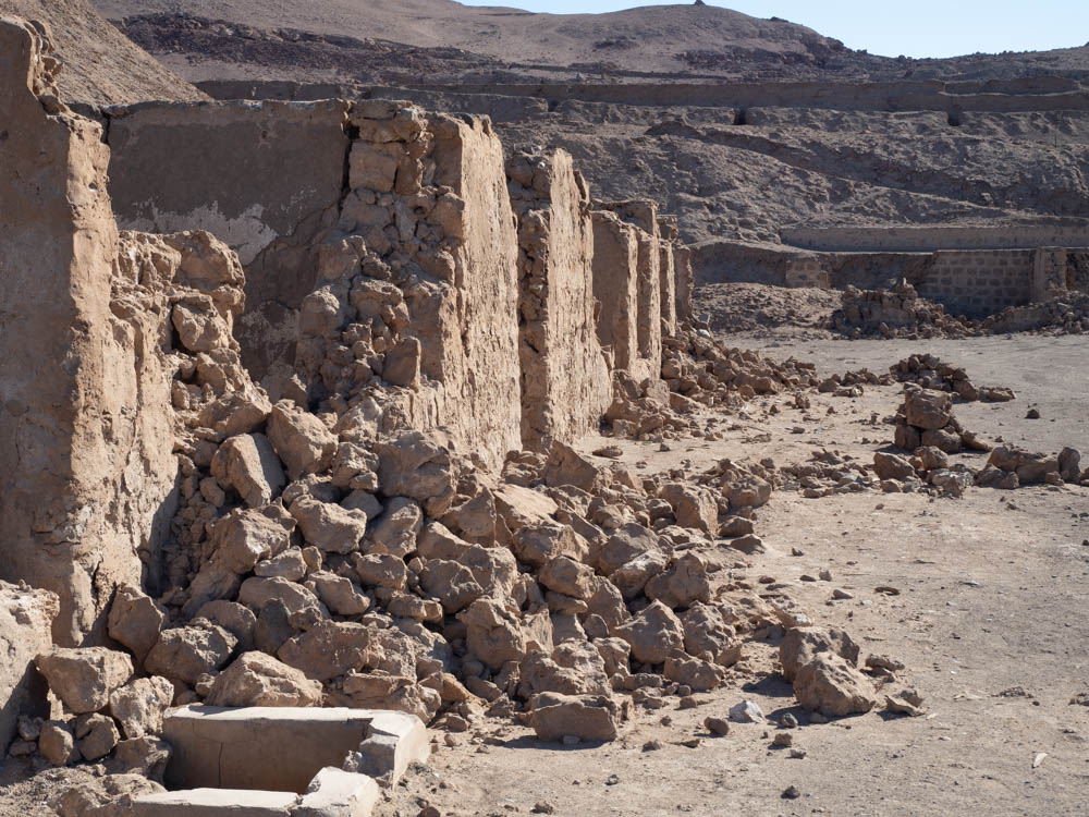
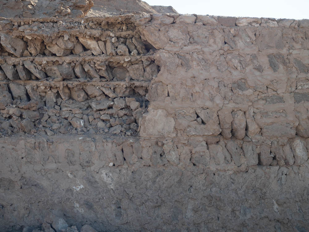
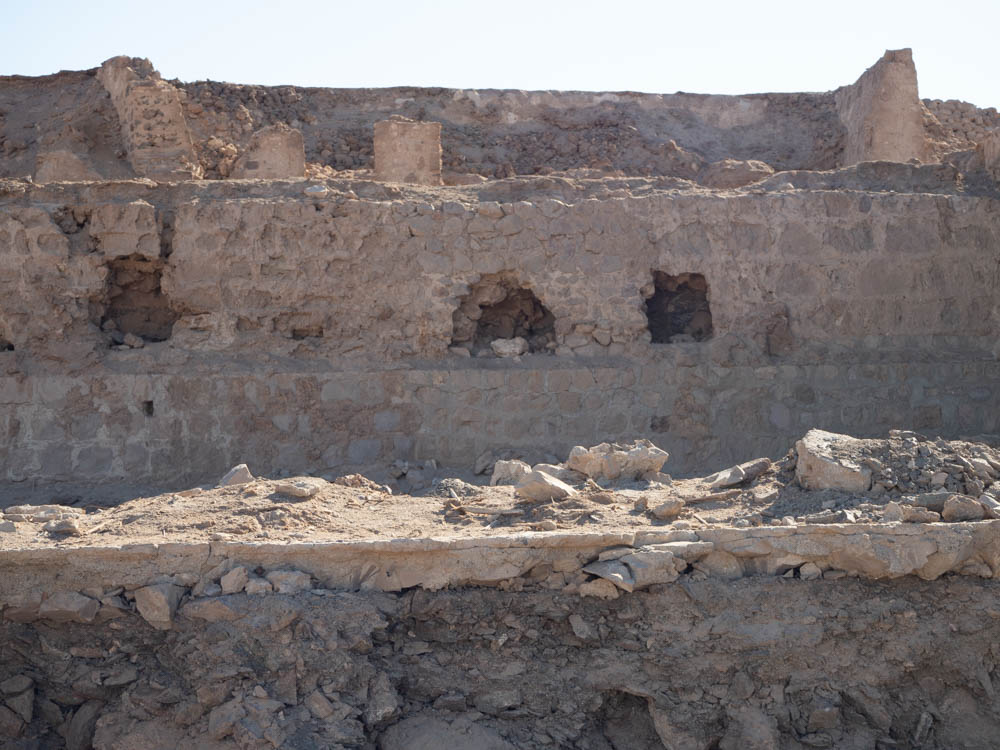
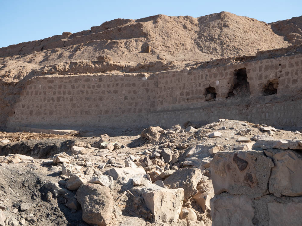
The next stop was a historic site for the Battle of Dolores, another battle in the War of the Pacific. The Chilean forces were victorious, but little was left of the town and surrounding ruins. In one of the pictures below you will see a large hole in the ground. I have not been able to confirm this yet, but our distinct impression was these holes led to a tunnel system under the town.
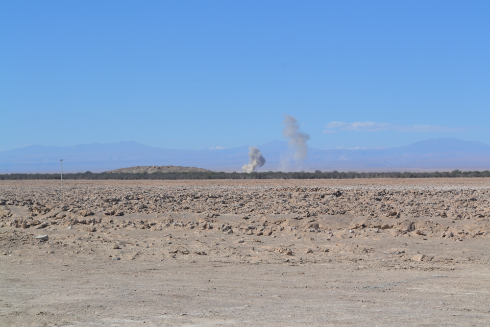
The Dolores site was very impressive given it is located in the middle of nowhere. While we were checking out the site there was a loud explosion not very far from us. Remember, we’re out in the middle of nowhere. We have no clue as to the what or why related to the explosion. You can see the cloud from the explosion in the distance.
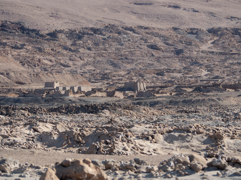
After leaving we were not in the car very long before coming upon more ruins. It’s not clear if these are pre-Incan. The war took a toll here as well.
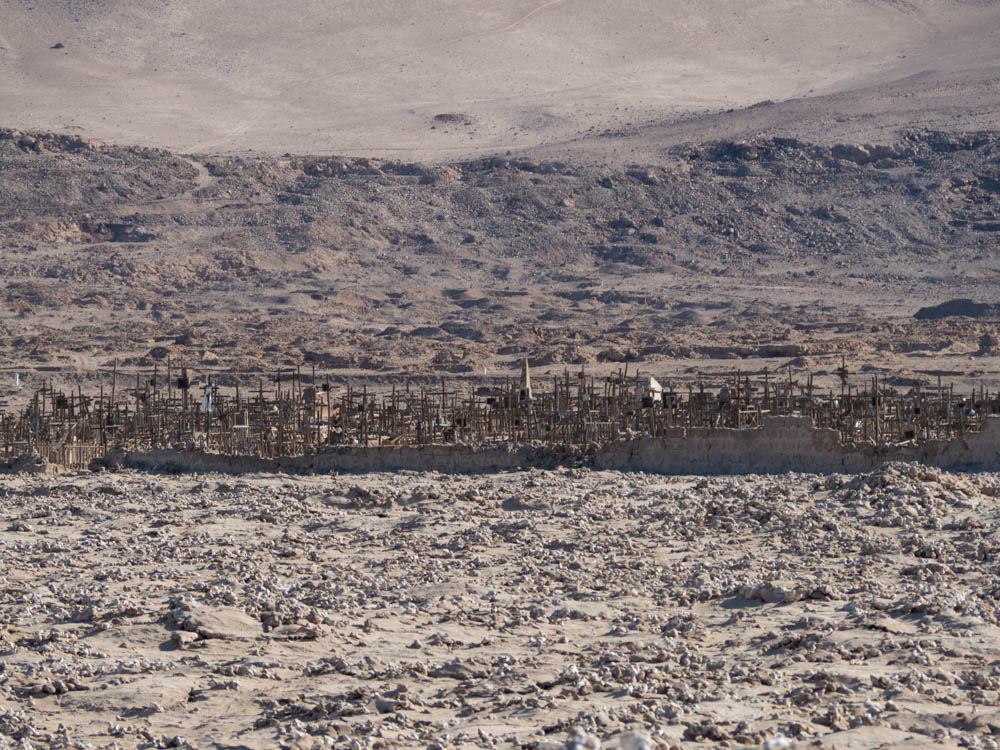
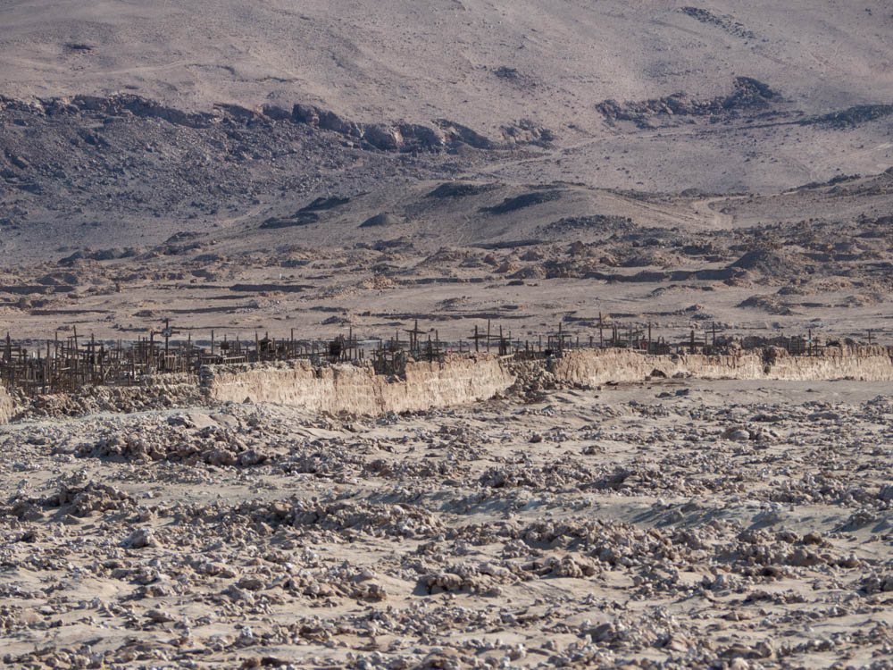
Another short drive…another set of ruins. We were not able to get close to this site, but we were able to capture a couple of pictures. There were quite a few crosses in the cemetery just outside of the village.
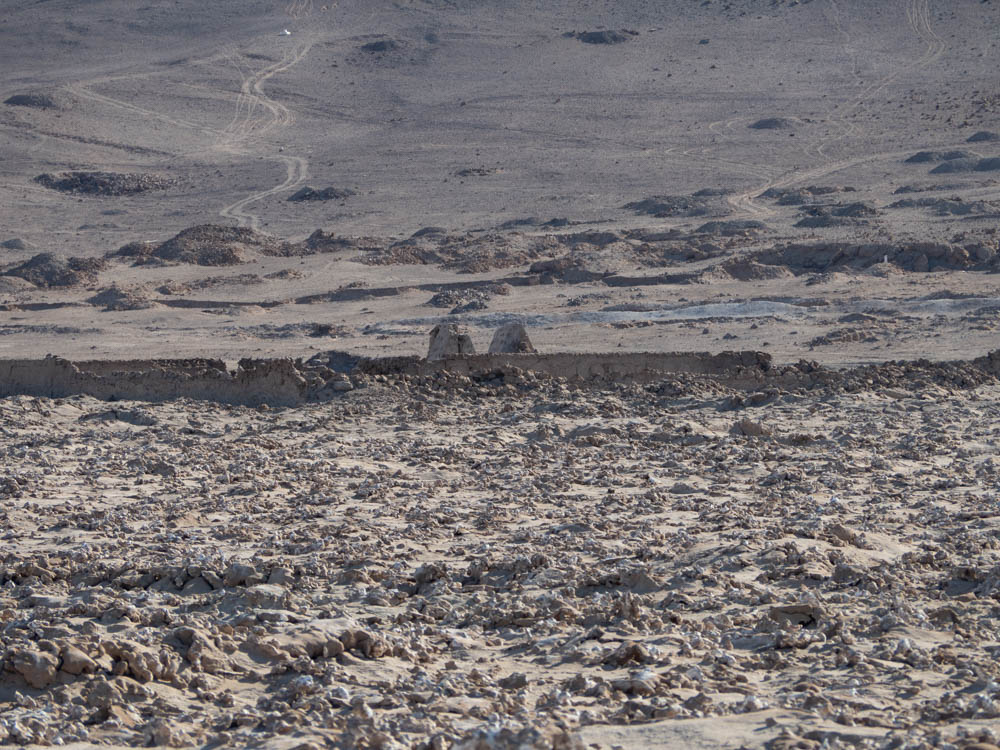
Shortly before we reconnected with the main highway, there was one last village that had been destroyed during the war.
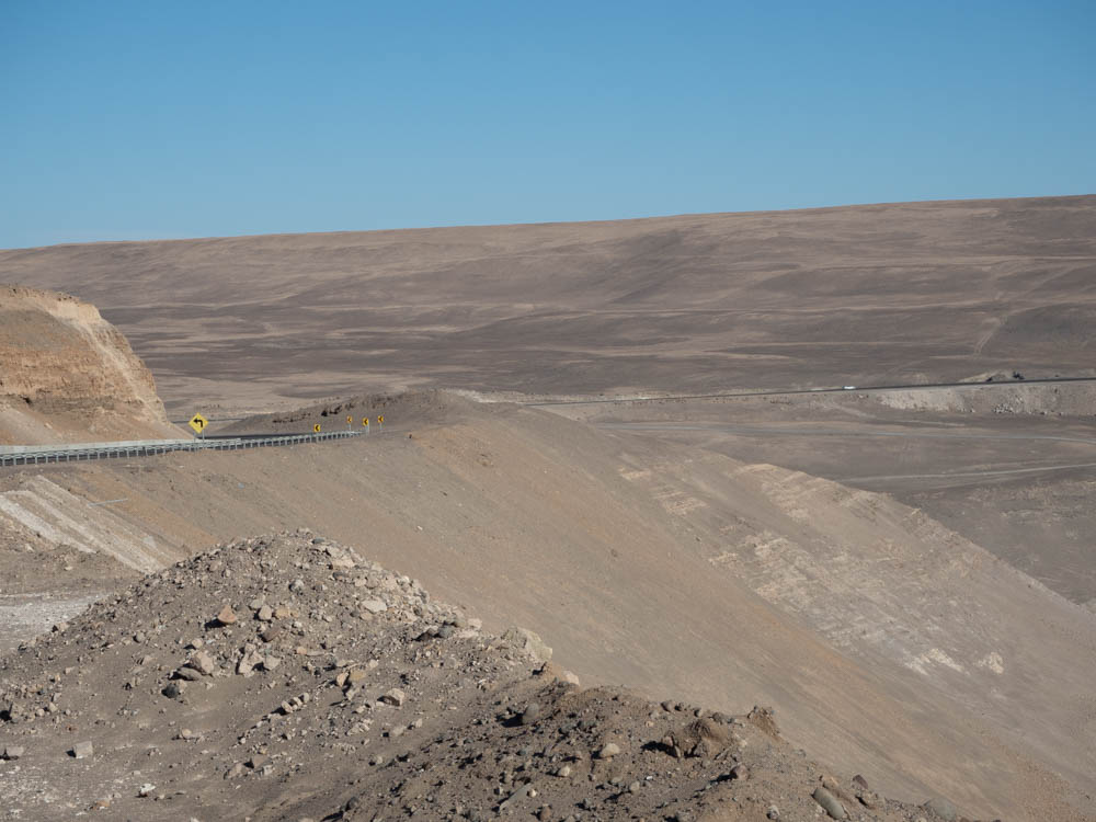
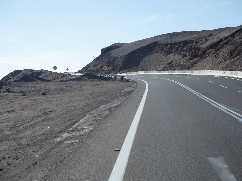
Once we were back on the main road the focus shifted to arriving in Arica before dark. There were still some amazing views along the way. In the valleys there is some moisture left behind when the evening fog dissipates, which allows plants to grow in limited areas.
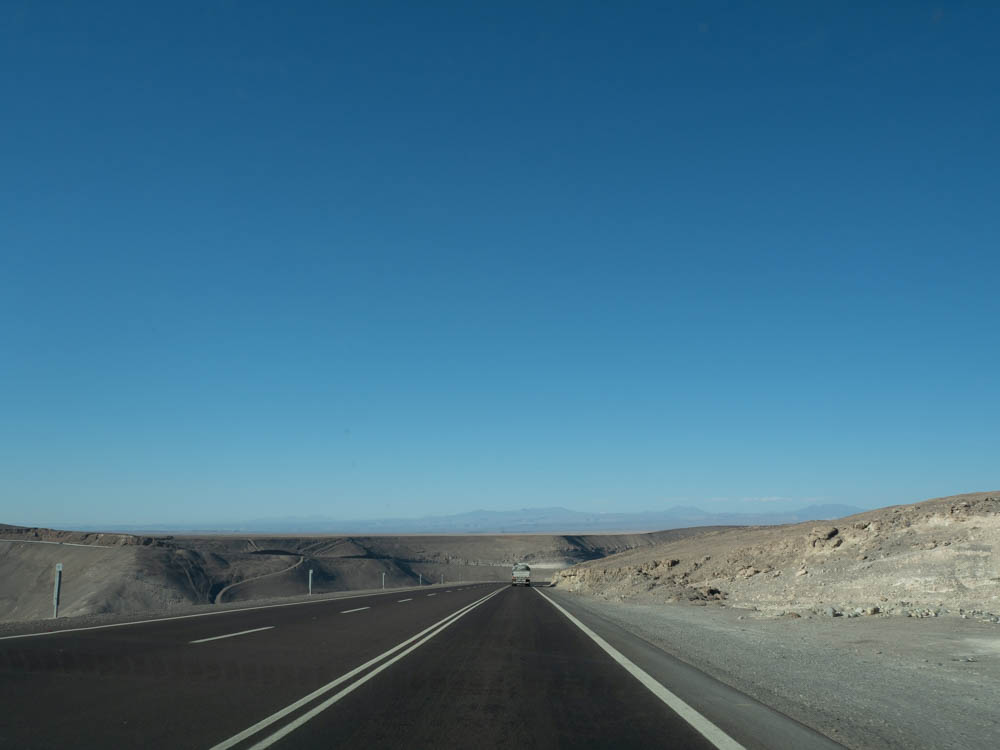
Some of the best roads we’ve driven 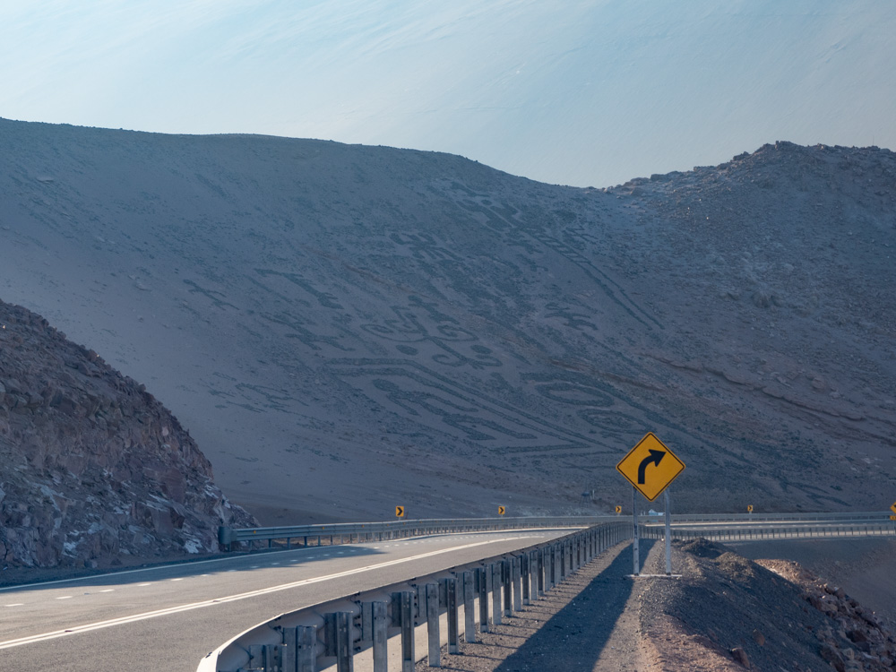
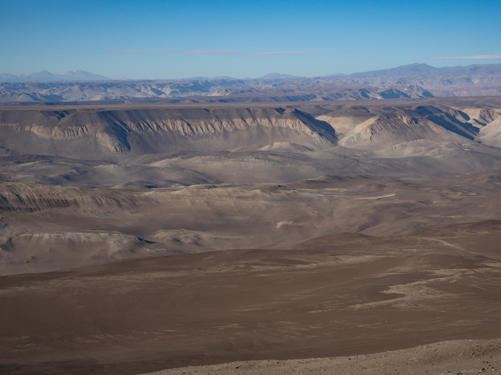
Incredible view 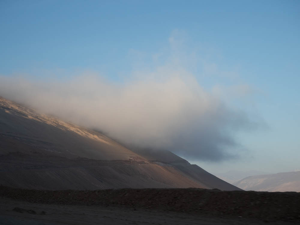
Up in the clouds again 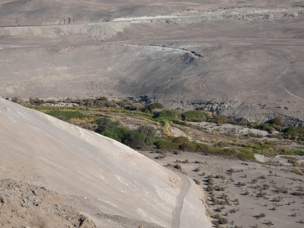
There is life in the valleys
We arrived in Arica as it was getting dark and had some trouble finding our Airbnb, but eventually found the location and connected with keys to the apartment. We hadn’t done laundry in a while and decided to take advantage of the washing machine in the apartment. It was actually rather humid and chilly in Arica, which made drying the clothing a challenge.
After dinner, a quick stop at a grocery store to pick up breakfast food, and a start on laundry we crashed for the night.
Tomorrow will be another exciting day!
Will

